The Walbunga people of the Yuin Nation held knowledge of the Araluen valley, waterways and walking tracks for thousands of years. After the arrival of Europeans in 1788, western-style maps of the interior of the country were developed, and the land was divided into Parishs and Countys as it was granted, sold and settled by white people. Although some distance from the first European settlement, Araluen appears in some of these earliest maps.
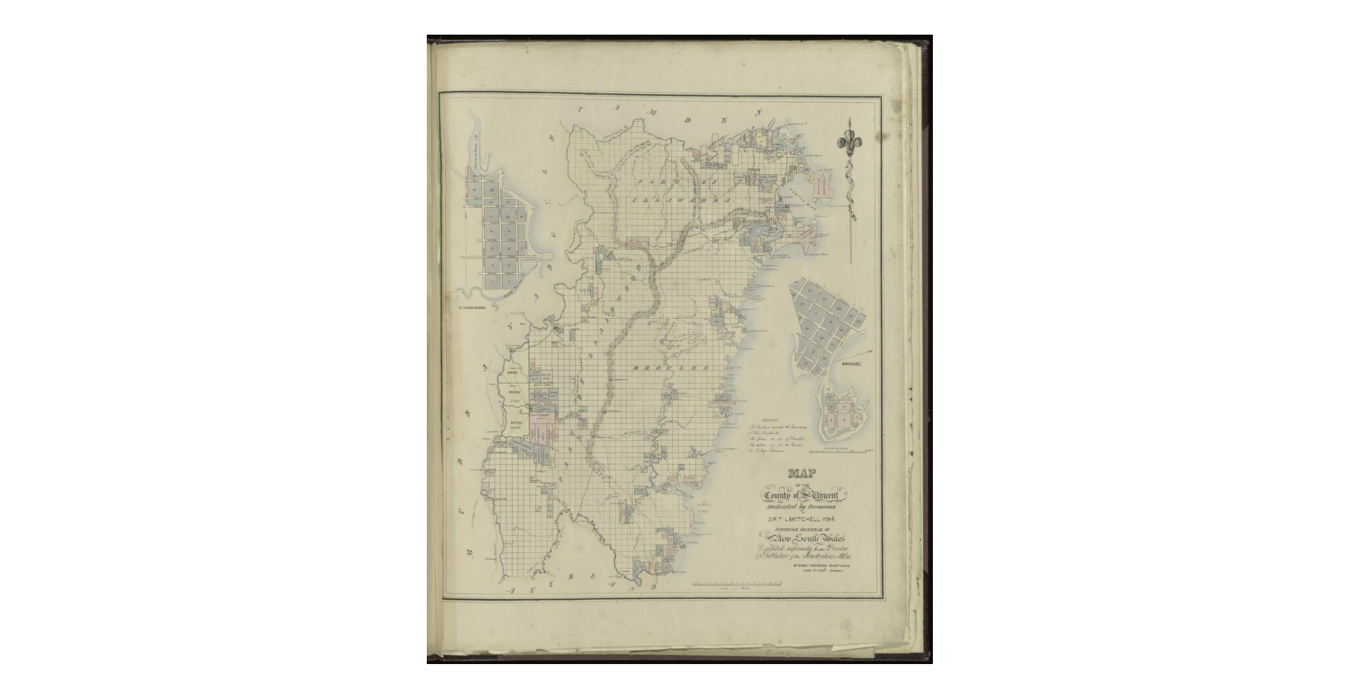
In 1826 Governor Darling defined the limits of settlement in the colony of NSW and proclaimed the 19 counties, stretching from Taree in the north, Batemans Bay in the south and Wellington in the west. The Parish of Araluen falls in the county of St Vincent, at the southernmost end of the limits of settlement.
Araluen, and the grant of land to Burnell, is shown on this 1837 map produced by W Baker from Mitchell’s survey.