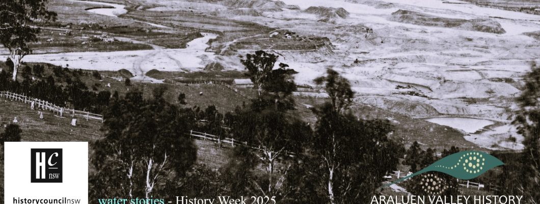
Deluges, devastation, and diversions
How water shapes Araluen’s rich history
History Week 2025 – Water Stories
Join the Araluen History Group to explore Araluen’s rich history through our Water stories in History Week 2025. The landscape of the Araluen Valley was formed by water, our rich history with the gold mining era and agriculture shaped by water, while our resilience has often been tested by deluges and devastating floods.
Araluen, also known as the ‘Happy Valley’ and the ‘Valley of Peace’ lies in the heart of the Great Dividing Range in southern NSW, and developed over millennia as the Moruya River and her tributaries gradually eroded the land back from the coast. The Arralyin people, of the Yuin nation were the first people to care for and make use of the waterways, walking tracks, flora and fauna of the valley.
![Sketches of N. S. [New South] Wales, 1857-1888 / by H. Grant Lloyd](https://araluenvalley-history.com.au/wp-content/uploads/2023/11/Falls-by-MC-SLNSW_FL207807-736x1024.jpg)
Araluen has many watercourses that channel water to the coast. While we don’t name all of the mountains, most of the creeks, gullies and rivers are named, such as Dirty Butter Creek, Deua River and Bells Creek.
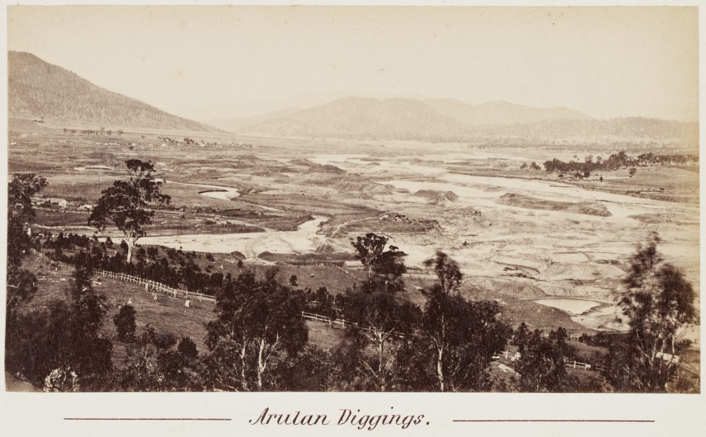
In September 1851, gold was found near the estuary of the Moruya River and traced upstream to the junction with Araluen Creek. In the late 1800s, the Araluen Valley was the site of the richest alluvial gold deposits in NSW and home to thousands of miners and their families.
Mining radically altered the topography of the valley. The land was turned over and transformed as miners washed out gold sediment along the waterways, created new waterways for sluices and piled up mounds of washed earth.
Mining alluvial gold in shallow soils only required simple tools: the gold pan, cradle, sluice box, long tom and a water race for drainage. Other tools utilised included Water Wheels, Steam engines (from 1859) and even hydraulic sluicing. Water was always essential. Success was measured by how much was ‘washed’.
Many of the miners would plant vegetables and fruit trees to supplement their provisions, as well as to sell or trade for other items. Over the years farming in the valley intensified. Crops under production included peas, beans, potatoes and maize, as well as peaches, nectarines, plums, apples, citrus and grapes. Haymaking was being undertaken, barley was grown and cheeses were made. By the 1930s produce was being widely supplied with Araluen peaches having a well-deserved reputation as some of the best available.
Araluen Valley is susceptible to flooding. The devastating February 1860 floods caused the enormous loss of property, such as tools, furniture, bedding, carts, drays, tubs, and the loss of lives and livelihoods. Demonstrating the resilience of the population, by April 1860 there were a number of steam engines draining the claims and the claims were back at work.
Flooding impacted the valley regularly. While the floods often caused devastation, in some cases they were beneficial in clearing away the tailing mounds and enabling mining of previously difficult to reach areas. ‘The floods of 1871 were clearly a watershed for Araluen, for the devastation was such that it did not recover its former status as a leading gold producer’1Barry McGowan. The Golden South. A History of the Araluen, Bells Creek and Majors Creek Goldfields. Capital Fine Print, Canberra. 2000. p 76, except for a brief period in the 1880s and the dredging boom of the 1900s.
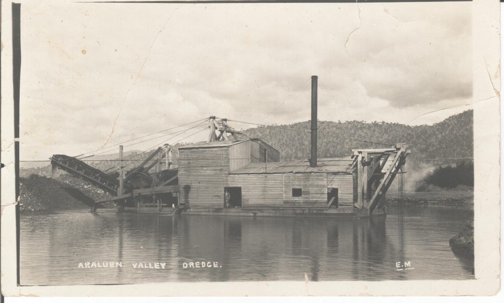
Dredging began in 1899 built on floating pontoons processing tons of wash per day and following large capital investment. Railway tracks were laid down but sank. In 1924, the Redbank Dredging Company closed signalling the end of the mining era.
Excess and scarcity of water have impacted agriculture, exemplified in 1945 when the flooding and heavy rain flooded a contracted bean crop. All of the vines with beans still attached floated away and ended up in the dams and lagoon below. It is understood the locals were eating beans for weeks afterwards.
Floods and significant water flows continue to impact the Araluen Valley, with land slips and rising rivers and creeks preventing access and causing loss of life and property. This has necessitated the continuing work to stabilise and rejuvenate our waterways.
Our gallery provides some images reflecting how water shapes Araluen’s rich history.